
MIT says its new AI engine can draw road maps better than Google
A team of researchers at Massachusetts Institute of Technology (MIT) has developed an artificial intelligence (AI) engine that can create road maps merely by using aerial images as reference.
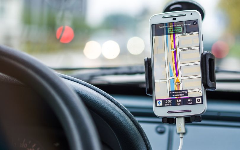
According to a ScienceDaily report, the researchers from the Computer Science and Artificial Intelligence Laboratory (CSAIL) said 20 million miles of the Earth remains unmapped despite several companies such as Google leading efforts to map the world.
As a result, there are gaps in existing maps which in turn make life difficult for navigators.
The MIT team claims that its RoadTracer engine can help build road maps that are 45% more accurate than existing approaches. In addition to being more cost-effective, the method can also help companies like Google expedite their maps initiatives, it said.
"RoadTracer is well-suited to map areas of the world where maps are frequently out of date, which includes both places with lower population and areas where there is frequent construction," MIT professor Mohammad Alizadeh, one of the co-authors of a new paper about the system, was quoted as saying. "For example, existing maps for remote areas like rural Thailand are missing many roads. RoadTracer could help make them more accurate."
The professor said that during a test run of the new system, RoadTracer could identify 44% of New York City junctions compared to just 19% accuracy for existing traditional methods.
Alizadeh's MIT co-authors include graduate students Fayven Bastani and Songtao He, and professors Hari Balakrishnan,Sam Madden, and David DeWitt.
How it works
According to the report, existing technologies and methods use neural networks to process aerial images to identify each pixel of the photo as a road or otherwise. This approach can sometimes be imprecise as there are continuity issues in the aerial images and once the system identifies the road as a non-road, then the entire mapping turns faulty or there is a high chance of error amplification.
In contrast, RoadTracer creates maps gradually in steps. It starts with a known location point in the photo of the road and then uses a neural network to examine the surrounding areas to find out if they are likely to be a road not. Once it identifies which block or pixel is the road, the engine adds it to the road and repeats the process.
"Rather than making thousands of different decisions at once about whether various pixels represent parts of a road, RoadTracer focuses on the simpler problem of figuring out which direction to follow when starting from a particular spot that we know is a road," Bastani was quoted as saying. "This is in many ways actually a lot closer to how we as humans construct mental models of the world around us."
The team trained RoadTracer on aerial images of 25 cities across six countries in North America and Europe, and then evaluated its mapping abilities on 15 other cities.
Bastani said the fact that RoadTracer had an error rate that is significantly lower than conventional methods is essential to making automatic mapping systems more practical for companies like Google.
"If the error rate is too high, then it is more efficient to map the roads manually from scratch versus removing incorrect segments from the inferred map," says Bastani.
TRENDING STORIES
Next Article